
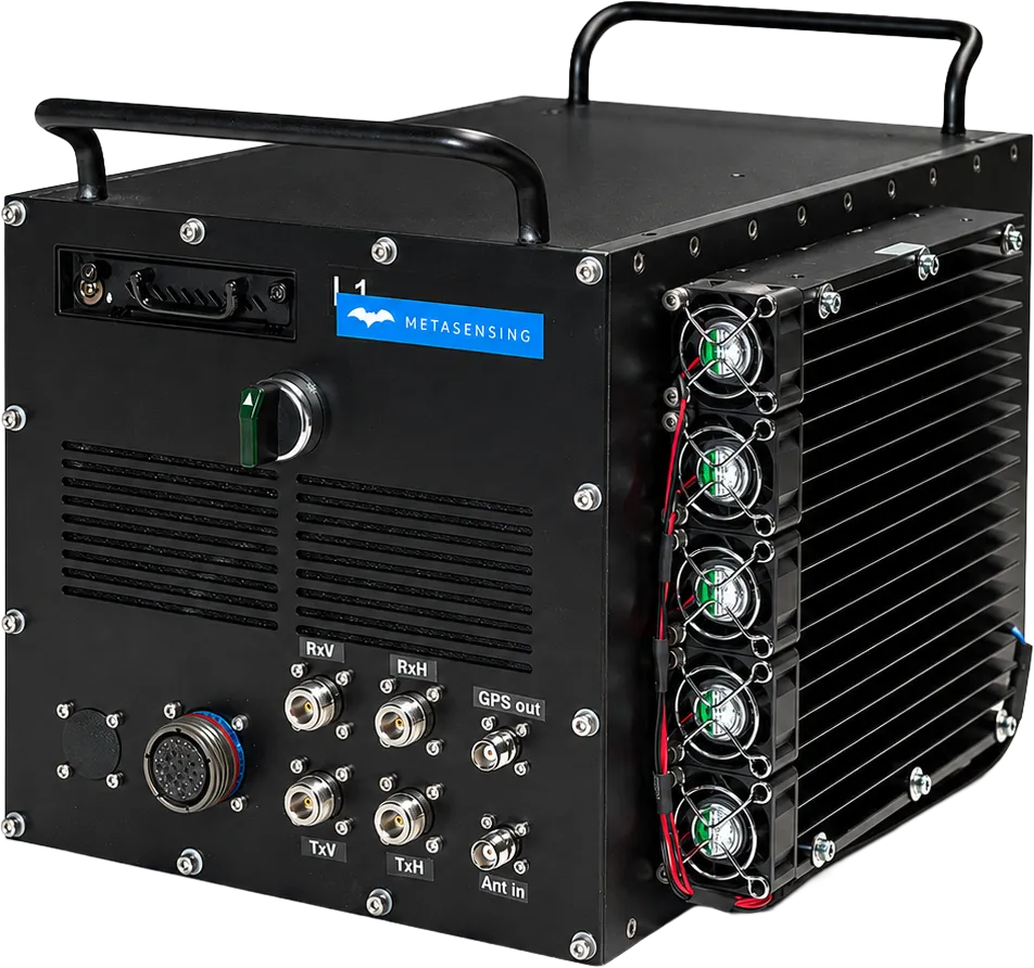
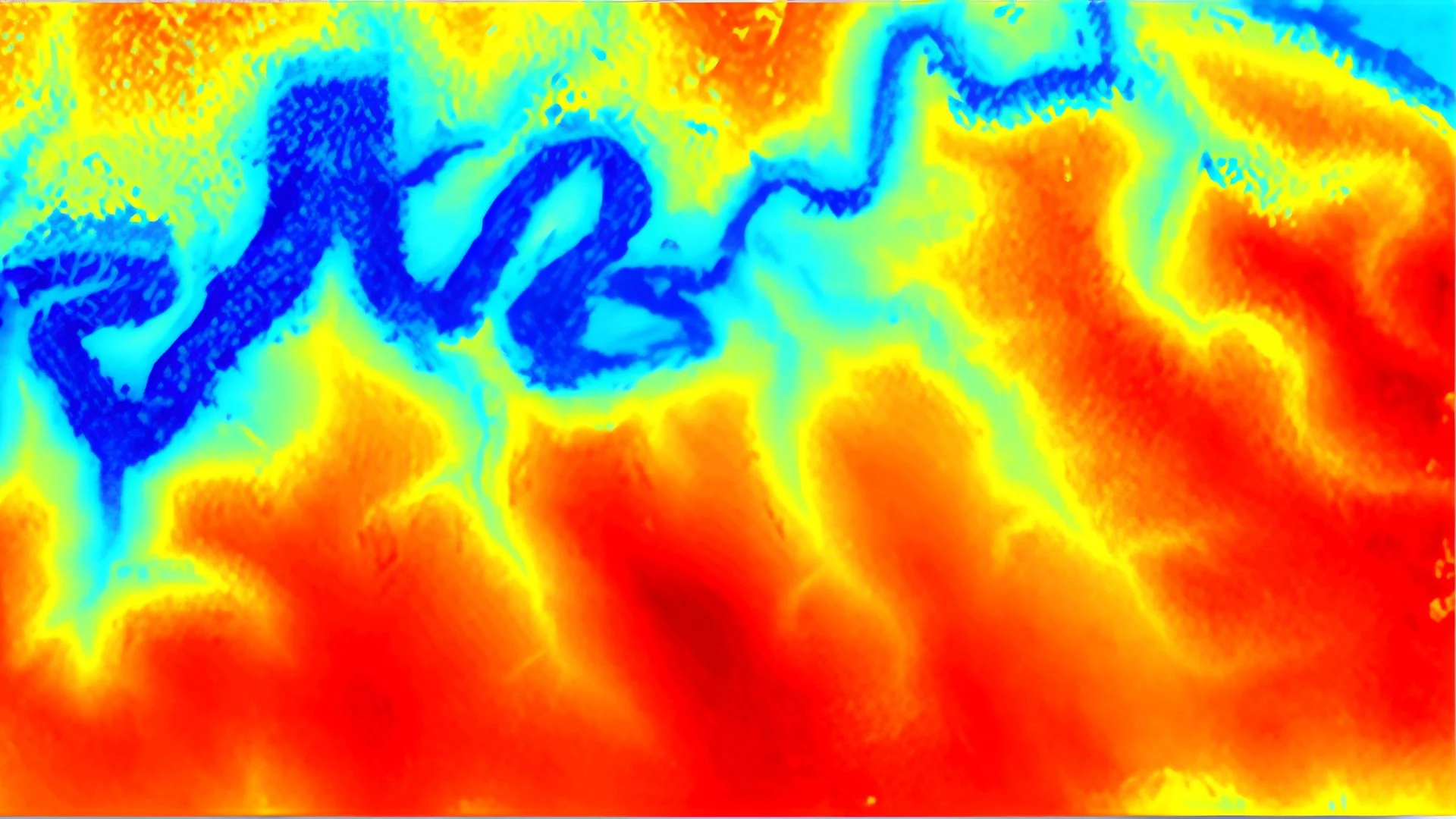
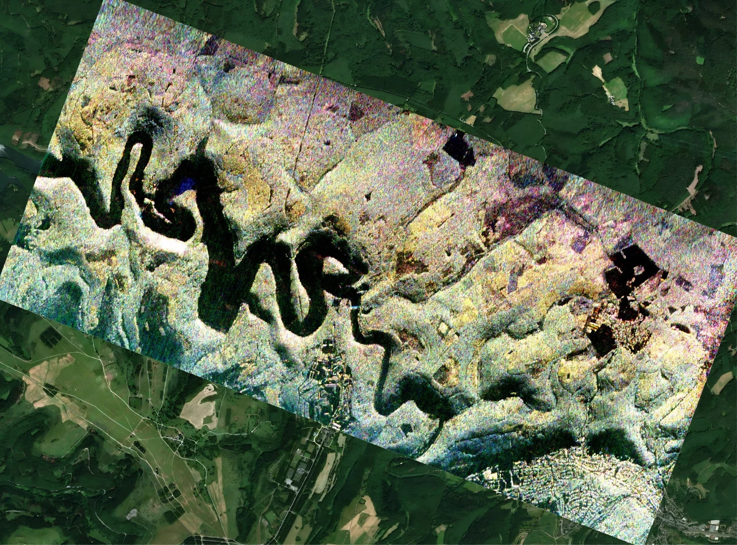
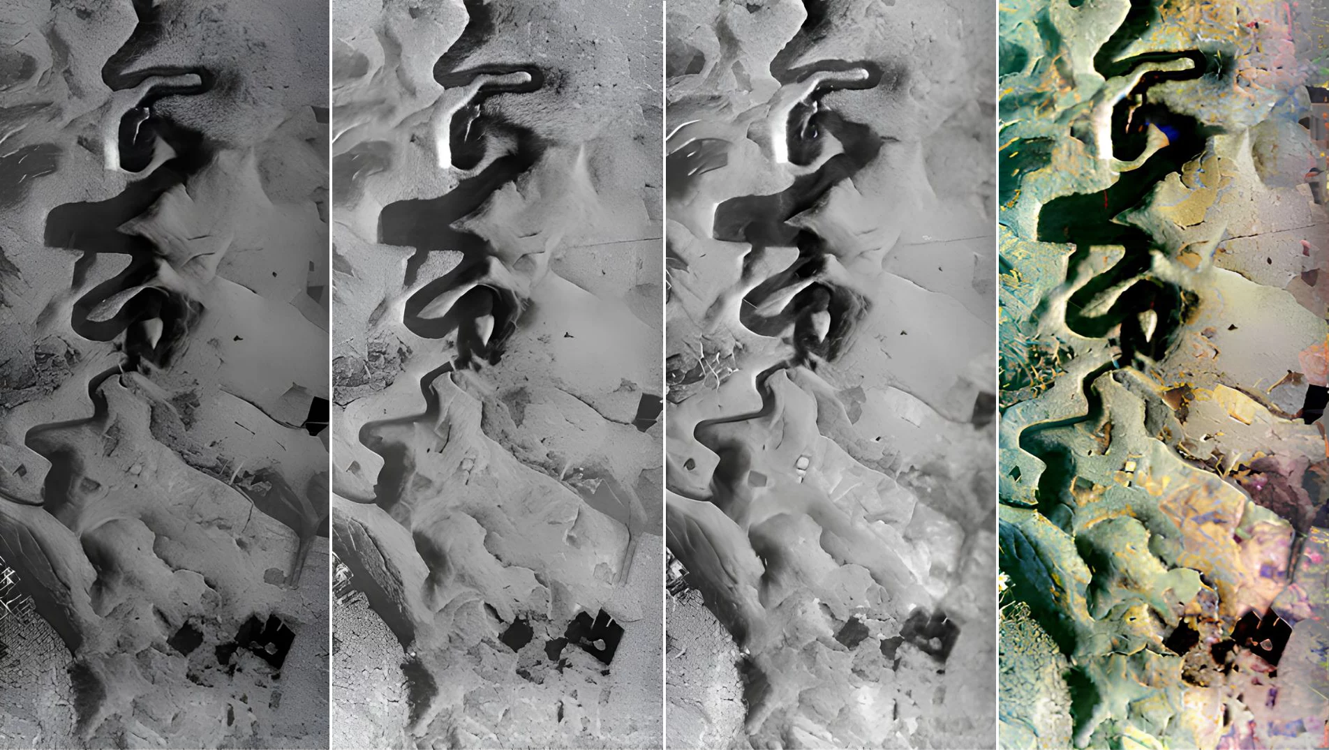
MetaSAR-P is MetaSensing’s multichannel airborne P-band Synthetic Aperture Radar (SAR) designed for advanced mapping, monitoring and beneath-canopy sensing applications. Supporting InSAR, PolSAR and TomoSAR, the system enables Digital Terrain Model generation, biomass estimation, vegetation mapping, FOPEN/SAPEN operations and infrastructure monitoring. Its compact architecture integrates synchronized SAR and navigation data acquisition, while MetaSAR-PRO processes the collected data into accurately georeferenced GeoTIFF products. Long P-band wavelengths enable reliable terrain elevation measurements and high-performance imaging, even through dense vegetation.
Technical data
| MetaSensing Horizon | Wideband Airborne SAR |
|---|---|
|
Frequency
|
300 - 600 MHz
|
|
Bandwidth
|
Up to 250 MHz
|
|
Ground Resolution
|
From 0.6 m
|
|
Channels
|
2 alternating transmitters,
2 simultaneous receivers |
|
Embedded Navigation
|
High-performance IMU/GNSS unit
|
|
Interferometry
|
Repeat-Pass
|
|
Polarization
|
Full Polarimetric (Linear H & V):
HH, VV, HV, VH |
|
Swath (from 10,000 ft AGL)
|
From 2 km to 10+ km
(depending on configuration) |
|
Output Format
|
GeoTIFF,
NetCDF (including metadata) |
|
Power Consumption
|
< 560 W @ 28 V DC
|
|
Weight
|
< 20 kg
|
|
Dimensions
|
Electronic Enclosure:
320x320x370 mm |
Key features
- Multichannel P-Band Radar: High-quality imaging with long wavelength penetration.
- Compact Design: Lightweight radar electronics with easy installation on multiple aircraft.
- Advanced Processing Software: Proprietary MetaSAR-PRO for GeoTiff outputs and precise analysis.
Key benefits
- Accurate Terrain Mapping: Generates precise DTMs and DEMs, even in forested areas.
- All-Weather Operation: Reliable performance in challenging weather conditions.
- Cost-Effective Efficiency: Lightweight design with low power consumption for versatile deployment.
Application
- Environmental Monitoring: Biomass and vegetation mapping.
- Infrastructure Surveillance: Pipeline monitoring and structure detection.
- Forestry Applications: Canopy penetration for forest height and terrain analysis.