
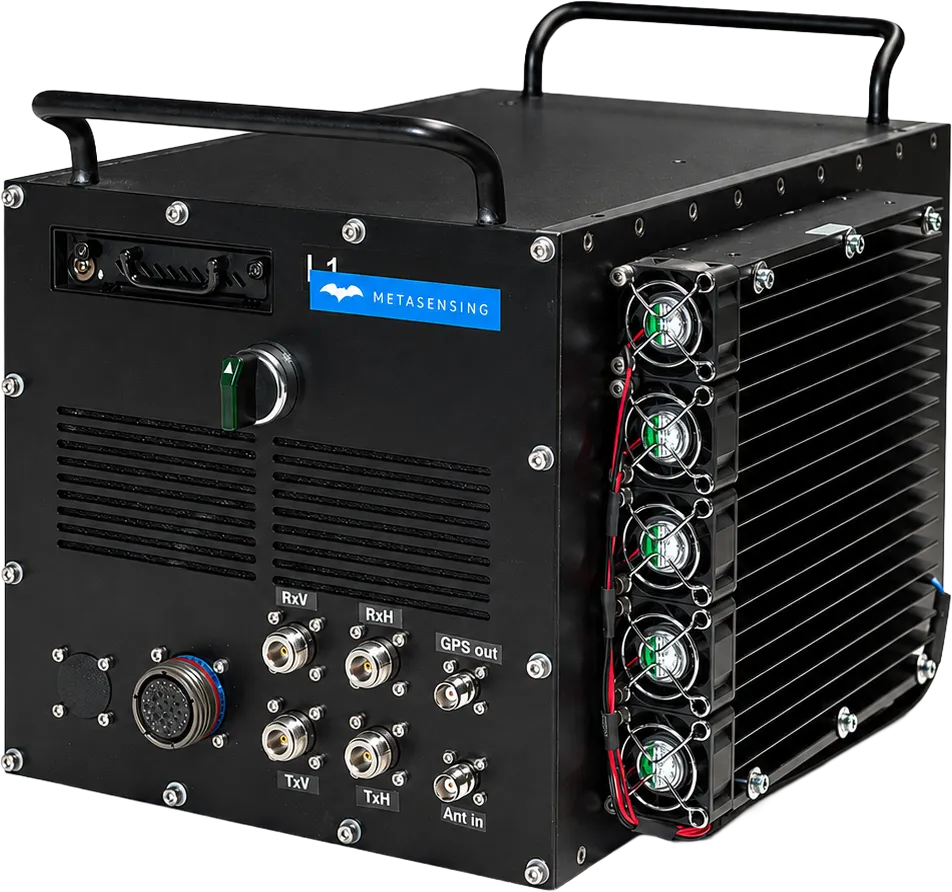
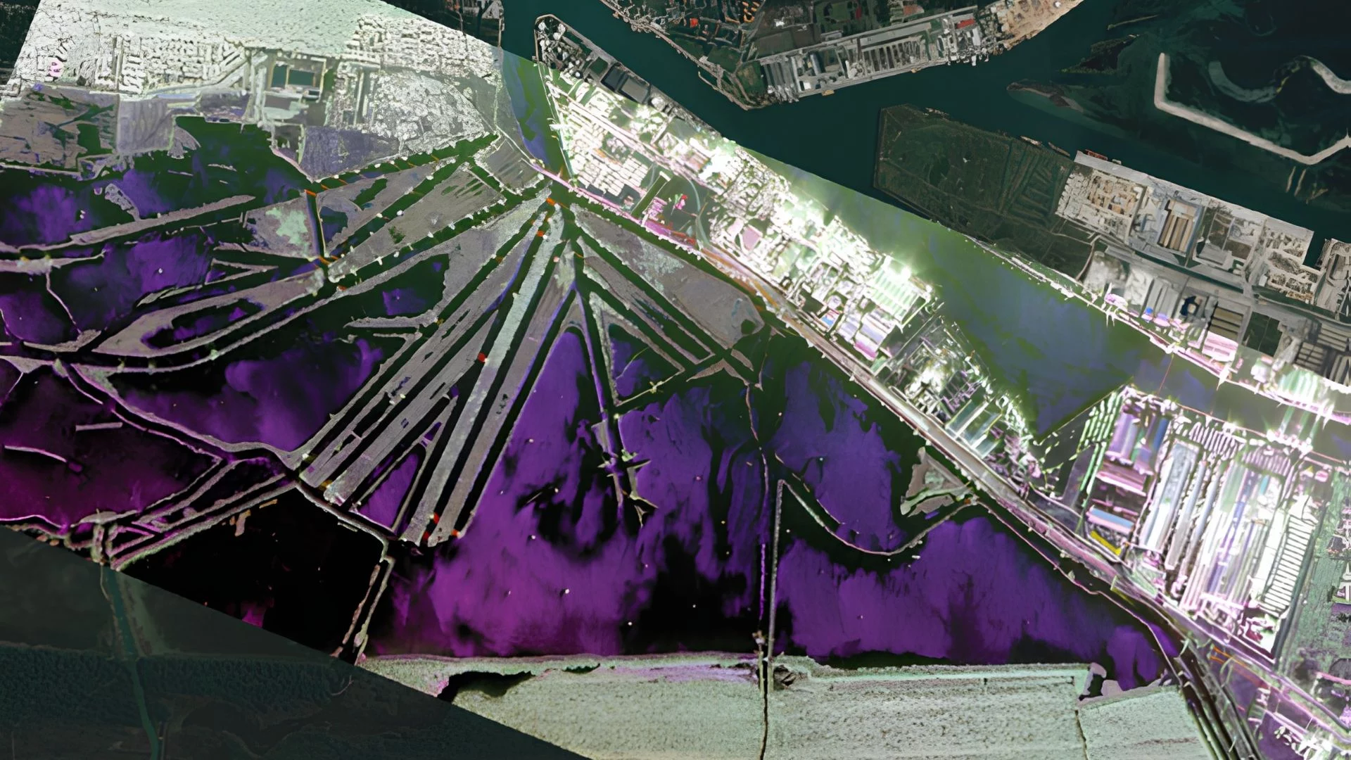
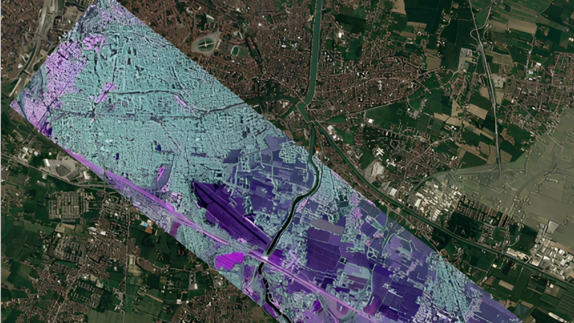
MetaSAR-L is MetaSensing’s compact airborne L-band Synthetic Aperture Radar (SAR) designed for advanced mapping, environmental monitoring and Earth observation applications. Supporting high-resolution imaging in all weather conditions, the system enables vegetation and biomass analysis, soil moisture estimation, Digital Terrain Model generation, precision agriculture and environmental change detection. Its modular architecture allows flexible integration across multiple aircraft platforms, while MetaSAR-PRO processes synchronized SAR data into high-quality georeferenced products for advanced analysis and GIS applications.
Technical data
| MetaSensing MetaSAR-L | L-band Airborne SAR |
|---|---|
|
Frequency
|
1.3 GHz
|
|
Bandwidth
|
200 MHz
|
|
Ground Resolution
|
Up to 0.75 m
|
|
Antenna Type
|
Microstrip Patch
|
|
Antenna Gain
|
15 dBi
|
|
Azimuth Beamwidth
|
20°
|
|
Elevation Beamwidth
|
40°
|
|
Polarization
|
Dual Linear (Vertical & Horizontal)
|
|
Power Consumption
|
200–600 W @ 28 VDC
(depending on configuration) |
|
Weight
|
< 18 kg
|
|
Dimensions
|
Electronic Enclosure:
320 × 320 × 370 mm |
Key features
- L-band SAR with dual polarization
- High-resolution, multi-channel imaging
- Compact, lightweight, and low-power design
- Flexible swath and resolution settings
- Compatible with various aircraft
- All-weather, day-and-night operation
- PolInSAR (MetaSAR-PRO)
- Change Detection processing (MetaSAR-PRO)
Key benefits
- Penetrates vegetation and soil for deep sensing
- Easy integration on multiple platforms
- Cost-effective and energy-efficient
- Reliable data in any weather or light condition
- Advanced image analysis and change detection
Application
- Topographic and surface mapping
- Topography and terrain mapping
- Vegetation and biomass monitoring
- Soil moisture and agriculture
- Land cover and environmental change
- Glacier and permafrost analysis
- Infrastructure and leak detection