
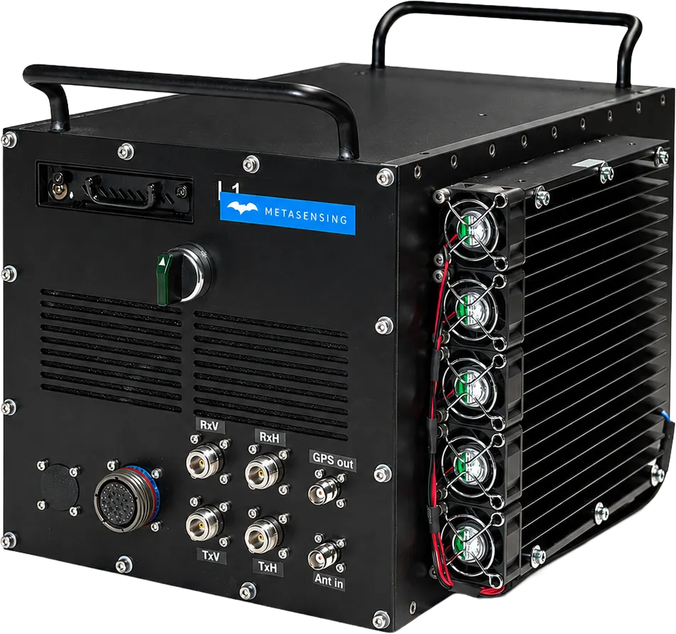
MetaSAR-C is MetaSensing’s compact airborne C-band Synthetic Aperture Radar (SAR) designed for high-resolution mapping, monitoring and Earth observation applications. Featuring a lightweight, low-power architecture with dual-polarimetric flat-panel antennas, the system provides flexible integration across multiple aircraft platforms. Combined with MetaSAR-PRO, MetaSAR-C delivers accurate georeferenced SAR products, enabling reliable terrain mapping, environmental monitoring and infrastructure analysis under all weather conditions.
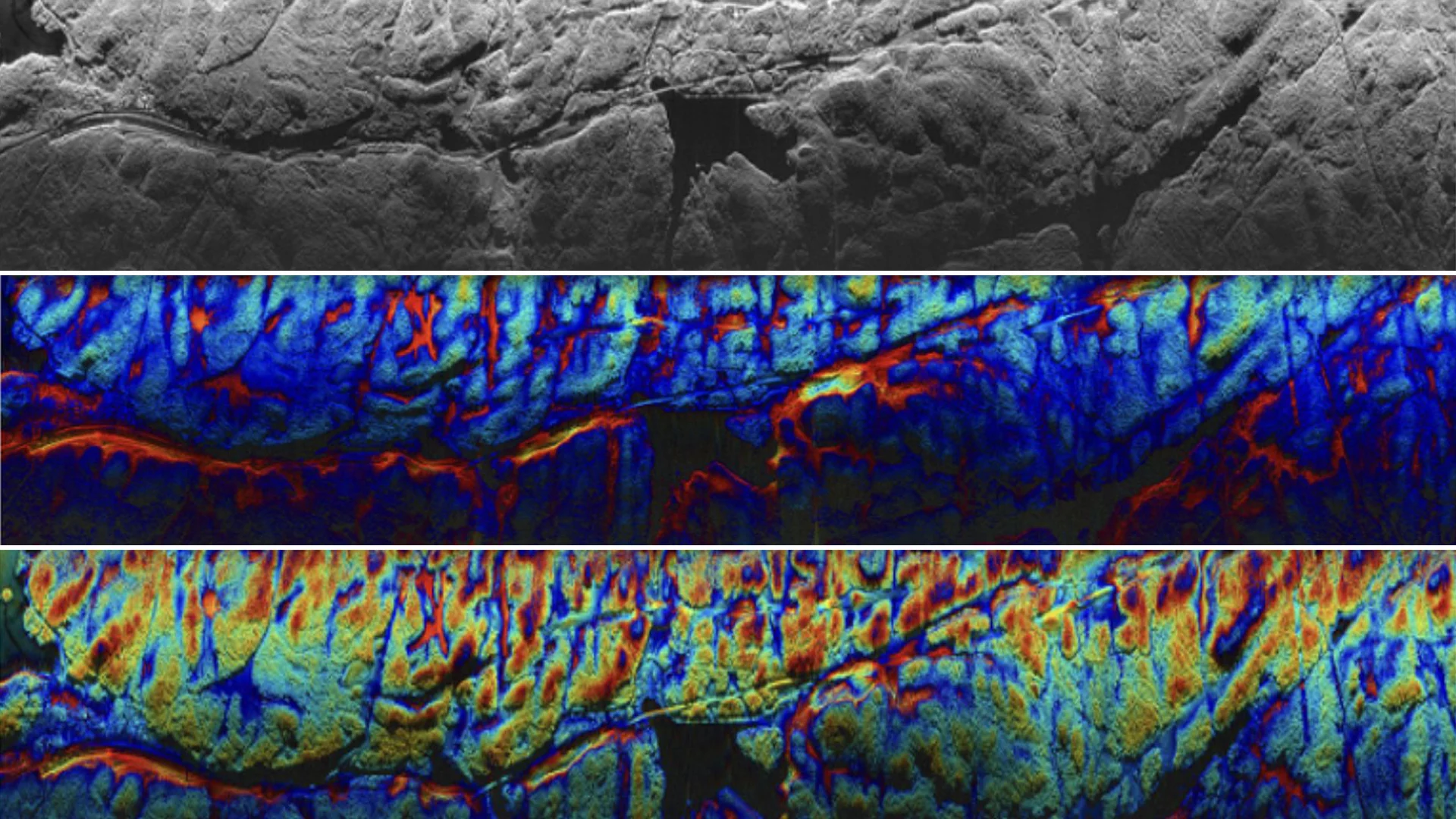
Technical data
| MetaSensing MetaSAR-C | C-band Airborne SAR |
|---|---|
|
Frequency
|
5.3 GHz
|
|
Bandwidth
|
300 MHz
|
|
Ground Resolution
|
Up to 0.5 m
|
|
Antenna Type
|
Microstrip Patch
|
|
Antenna Gain
|
18 dBi
|
|
Azimuth Beamwidth
|
10°
|
|
Elevation Beamwidth
|
38°
|
|
Polarization
|
Dual Linear (Vertical & Horizontal)
|
|
Power Consumption
|
< 200 W @ 18–30 VDC
|
|
Weight
|
< 18 kg
|
|
Dimensions
|
Electronic Enclosure:
320 × 320 × 370 mm |
Key features
- Compact and lightweight airborne C-band SAR architecture.
- High-resolution imaging with up to 0.5 m ground resolution.
- Dual-linear polarization (HH/VV) for enhanced target characterization.
- Low power consumption for easy integration on multiple airborne platforms.
- Configurable swath and imaging performance to meet different mission requirements.
- Fully compatible with MetaSAR-PRO for georeferenced SAR data processing.
Key benefits
- High-quality SAR imaging in all weather and day/night conditions.
- Compact design minimizes aircraft integration effort and operational costs.
- Reliable environmental and infrastructure monitoring with repeatable measurements.
- Flexible deployment across fixed-wing aircraft, helicopters and UAV platforms.
- Accurate georeferenced products ready for GIS analysis and operational workflows.
Application
- Topographic and terrain mapping.
- Infrastructure and corridor monitoring.
- Coastal and maritime surveillance.
- Environmental monitoring and land cover analysis.
- Agriculture and crop monitoring.
- Disaster response and emergency management.
- Change detection and asset inspection.