
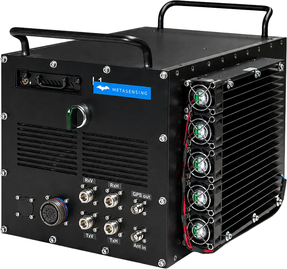
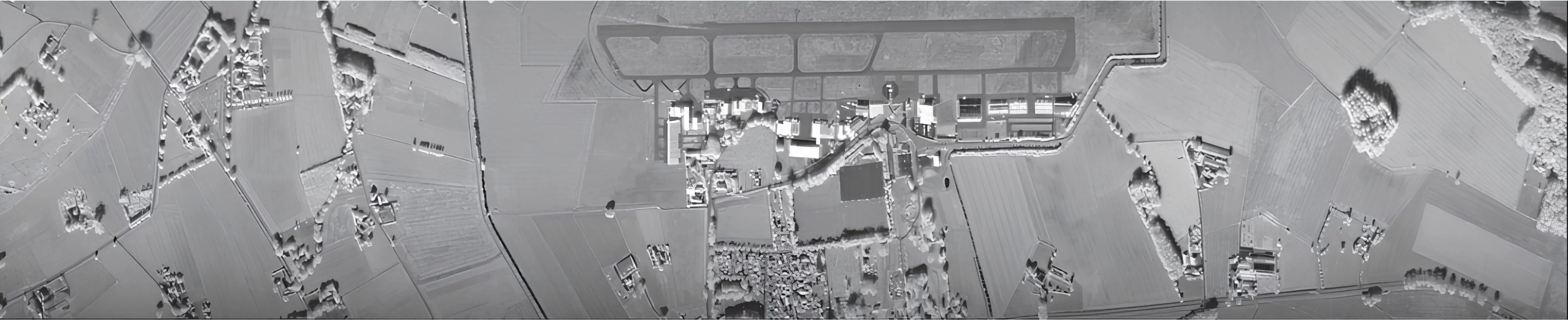
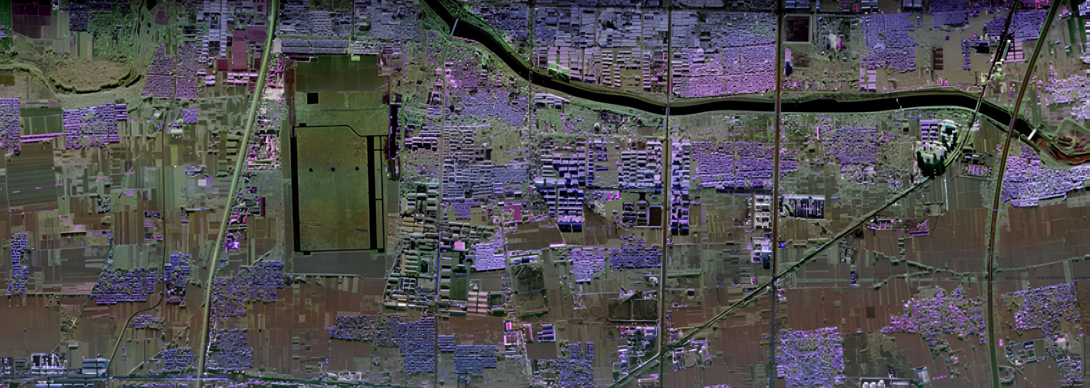
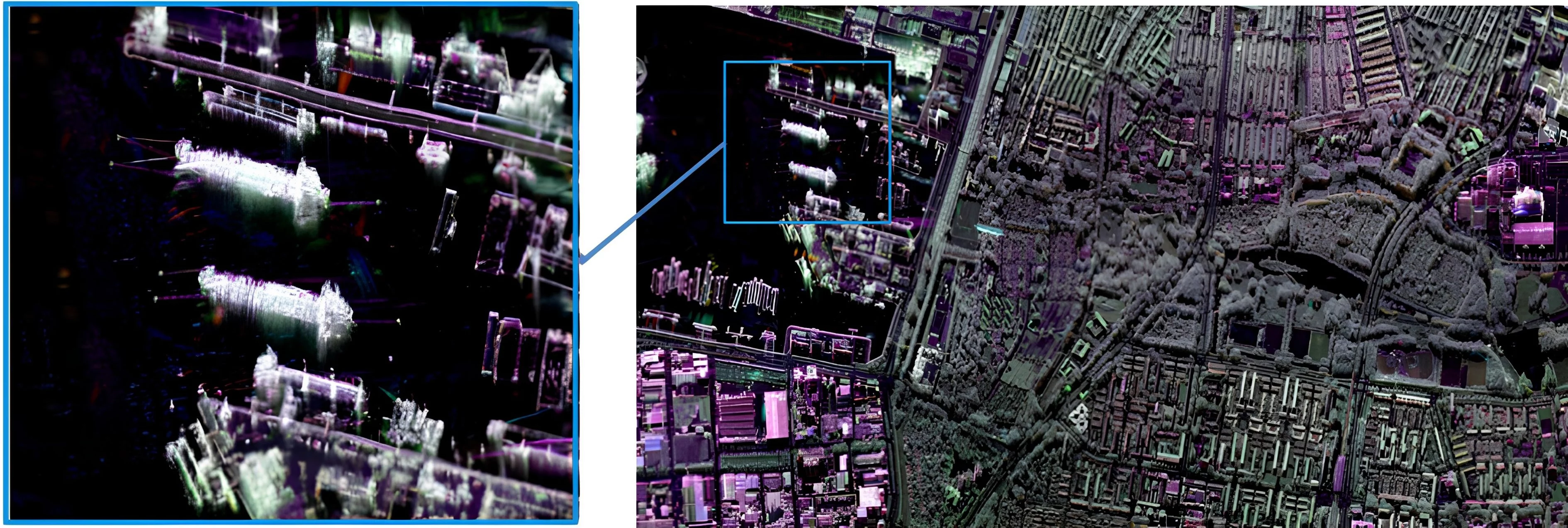
MetaSAR-X is MetaSensing’s compact airborne X-band Synthetic Aperture Radar (SAR) designed for high-resolution mapping, monitoring and intelligence applications. Supporting multiple imaging modes, including Stripmap, Spotlight and Wide Swath, the system delivers precise terrain mapping, surface monitoring and moving target detection in all weather and lighting conditions. Its lightweight architecture enables easy integration on a wide range of aircraft, while MetaSAR-PRO processes synchronized SAR and navigation data into accurate georeferenced products. Single-Pass Interferometry in Cross-Track (XTI) and Along-Track (ATI) modes provides high-performance terrain elevation and motion analysis.
Technical data
| MetaSensing MetaSAR-X | X-band Airborne SAR |
|---|---|
|
Frequency
|
9.5 GHz
|
|
Bandwidth
|
600 MHz
|
|
Slant Range Resolution
|
From 25 cm
|
|
Channels
|
2 alternating transmitters,
2 simultaneous receivers |
|
Embedded Navigation
|
High-performance IMU/GNSS unit
|
|
Interferometry
|
Single-Pass, Cross-Track (XTI)
& Along-Track (ATI) |
|
Polarization
|
Full Polarimetric (Linear H & V):
HH, VV, HV, VH |
|
Swath (from 10,000 ft AGL)
|
From 2 km to 10+ km
(depending on configuration) |
|
Output Format
|
GeoTIFF,
NetCDF (including metadata) |
|
Power Consumption
|
< 200 W @ 28 VDC
|
|
Weight
|
< 20 kg
|
|
Dimensions
|
Electronic Enclosure:
320 × 320 × 370 mm |
Key features
- High-resolution X-band SAR
- Compact, lightweight, and low power
- Dual-polarimetric antennas
- Stripmap imaging modes
- Single-Pass Interferometry (XTI & ATI)
- Precise GNSS/INS integration
- MetaSAR-PRO processing software
- Standard georeferenced GeoTIFF output
Key benefits
- All-weather, day/night imaging
- Fast integration on various aircraft
- Flexible swath and resolution options
- Accurate terrain and motion mapping
- Ready-to-use professional data products
- Proven reliability from MetaSensing expertis
Application
- Digital Surface Model (DSM) generation
- Land cover and vegetation analysis
- Ocean surface and current observation
- Urban planning and environmental studies